Infrastructure and property access to Twin Buttes Ranch (TBR) is an interesting subject. It’s also one that points to the near contradiction between the rules of the Old West that helped develop the one-time Arizona Territory into an actual state, and the modern world that has slowly been trickling into our world over the last few decades.
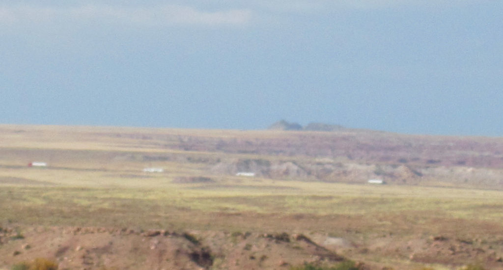
TBR is situated in what most in the state of Arizona think of as a type of no-man’s land, the middle of nowhere.
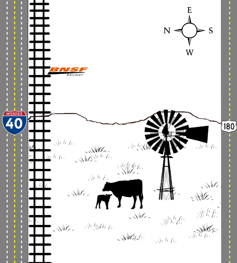
And yet my ranch and the surrounding area is caught in the middle of a major Western crossroads consisting of a network of major highways, recognizable towns, and the presence of the BNSF railroad.
TBR Property Access to the North
Although the interior of TBR has always been a little rough – it’s very easy to get into, and out of, the ranch.
On the north side we are bordered first by the Puerco River – which normally looks like a sand wash. Just on the far side of that is the BNSF railroad. By our ranch the spur runs roughly east to west, and reaches from Gallup to Phoenix – joining the network of BNSF lines that cross the USA and Mexico.
The BNSF railroad has always maintained an informal, but friendly, relationship with local ranchers in the Holbrook Basin – and at one time there was serious talk of building a spur onto the ranch to allow for shipping access.
It would still be very possible – and quite easy – to build that spur over the Puerco and Little Colorado riverbeds to allow for quick, easy, and cost-effective freight shipping out of TBR.
But wait – it gets better! On the far side of the railroad tracks is a parallel travel artery.
I40 – Interstate Highway 40 – is a major east-west which runs over 359 miles in Arizona alone. The Arizona section of I40, also known as the Purple Heart Trail, loosely follows the original path of the famous Route 66.
The Route 66 culture of family station wagons, economic pathways to success, and even souvenir stands, is still very much alive and vibrant in the town of Holbrook, Arizona as thousands of 18-wheelers and heavy freight trains pass through and around the town every single day.
From most points on the ranch you can see the faint white boxes that are 18-wheelers moving across country via Interstate 40.
TBR Property Access to the South
Coming east out of Holbrook to go to either the Petrified Forest National Park, or further to the town of St. Johns, is US Highway 180.
This road is the southern border of my ranch, Twin Buttes Ranch, and also forms part of the boundary of my siblings’ ranch.
Highway 180 is a well-traveled and well-maintained highway. It is the highway my children grew up knowing as the way into town, since it currently provides the easiest access points to the ranch.
Along this route also runs the power lines from Cholla Power Plant outwards, and the telephone lines.
Highway 180 is a well-traveled thoroughfare…
Interior Infrastructure on TBR
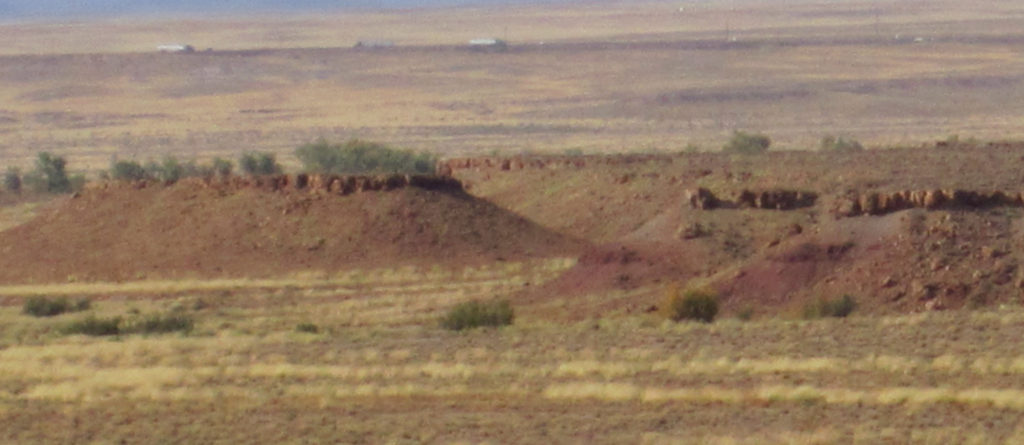
The interior of TBR is not very developed – a fact that always troubled me as a cattle rancher, but which I have come to see may be a benefit to the development of mines or renewable energy farms.
There are only a few fences which mark out the super-large pastures of the ranch.
There are a number of dirt stock tanks for catching and holding rainfall resources. These stock tanks are, ironically, also the best source of water for wildlife – which my family has protected for the last twenty years.
There’s also an existing network of dirt roads – some of which were put in by the last mining company to show interest in TBR.
Beyond that, the countryside of my ranch is largely unstructured – freeing up room for the right company to make improvements, developmental areas, and create mineral mines with little restriction.